Custom Maps Details and FAQ's
The next level in mapping


Make a $50 deposit using the link above or custom map product. We will then discuss your project and create a rendered model. Once the model is approved the remaining balance will be invoiced. Then your map will be printed and mailed to you.
To start a mapping project there are a few basic things needed. A location whether is be an OnX, Spartan Forge, GoHunt, or Google Maps pin. A description of the area such as a single private parcel, multiple parcels, or a general area. And a breif description of the colors or any other details you would like to have or try to capture.
Map Cost is based on two factors: Size and Color.
Maps are priced at $100/ sq. ft rounded up to the nearest .25 sq ft (4 inch). Dimensions are taken at the widest points in length and width.
Each additional color beyond the base map color adds an additional 10% to the total cost.
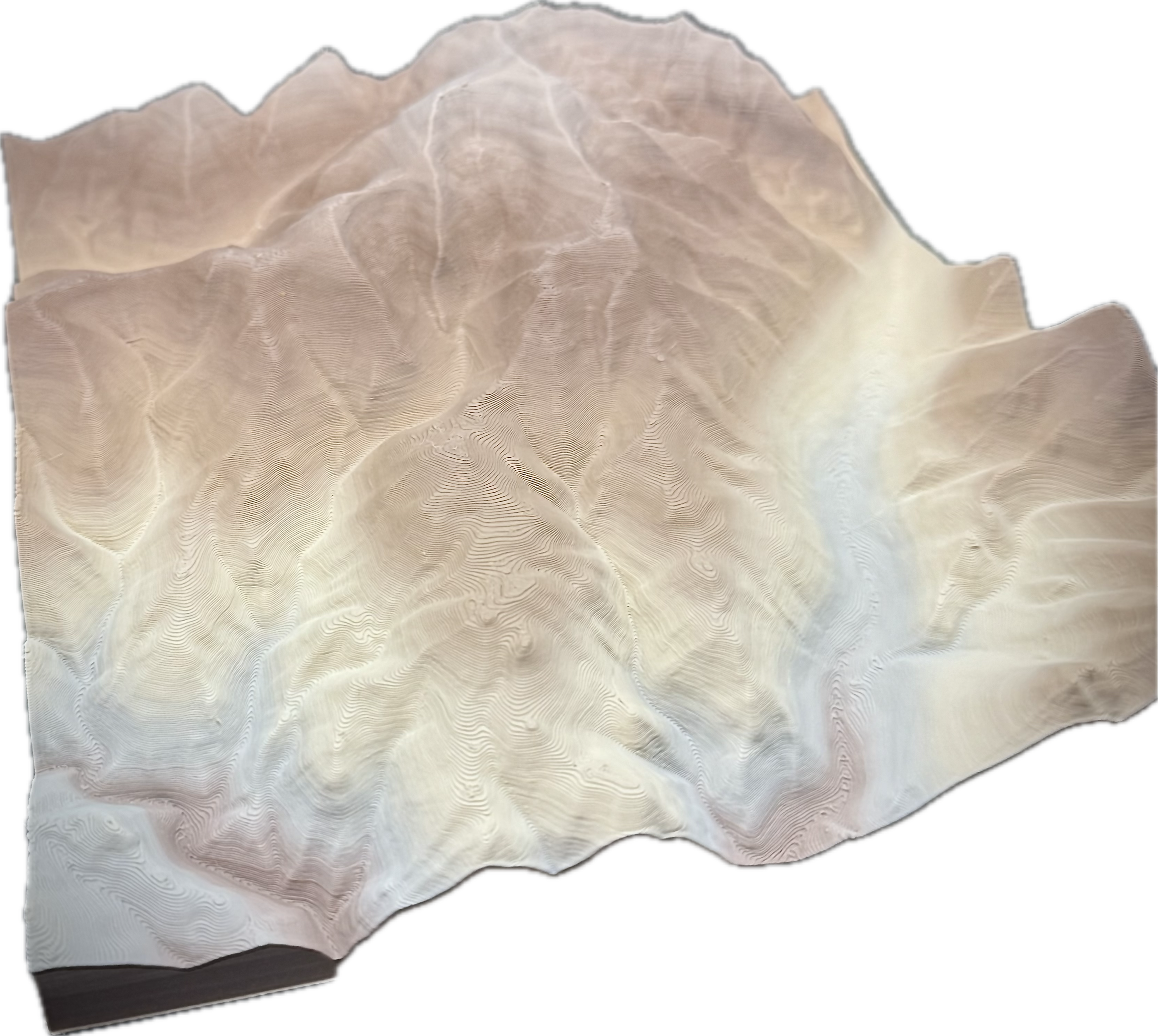
Unfortunately 3D printing technology is not that far along. While we do our best to provide the most realistic maps possible the technology isn't there to get to that level.
There is quite a bit of flexibility here but a single map is limited to 4 unique colors. That being said the two tones such as Green/Brown and Brown/White are only a single color both material and pricing wise.
As a general rule of thumb I like to try and keep it to 20 acres per sq ft minimum. It is possible to go smaller but often times the data and map begin to pixelate.
The only rule here is to try and keep the 20 acres per sq ft. Beyond that the options are near endless. Keep in mind the more acres per sq ft the less details you will be able to see.
No all the data I need to make a map in online and no site visits are needed.
Nope, you can have a map made of anywhere with publicly available data. Both Public and Private Land or a combination of the two,
In order to keep me product as affordable as possible I send the maps in the individual sections. They can simply be glued together with a bit of super glue making sure to stay away from the edges and some light clamping pressure to help bond.
No only bare earth shows in the Lidar Data used to create the maps.
Yes I saw him in 2017.